Reading the Facades of Queens Road West
A study of setbacks, porch treatments, and roof geometries along Queens Road West reveals how early twentieth-century domestic architecture negotiated public formality and private reserve.
Index
Work with the Peters Team
Homes & Market
· 5 min read · Discover Myers Park editorial team
When buyers evaluate residential parcels in suburban developments, mathematics usually settles the question. Square footage is tallied, frontage is multiplied by depth, and a dependable formula establishes relative parity. Within Myers Park, this tidy arithmetic fails almost immediately. Two parcels of identical acreage, situated two turns of the steering wheel apart, can offer entirely different domestic lives and support fundamentally divergent residential programs.
The distinction rarely stems from zoning discrepancies or utility access. Instead, it arises from the unique physical inheritance of a neighborhood laid out along natural contours rather than a rigid grid. When one acquires ground in Myers Park, one is purchasing not simply an envelope of square footage, but a specific orientation toward the sun, a complex topographical slope, and a legacy of mature vegetation that imposes both extraordinary grace and strict architectural discipline.
Understanding what a parcel here actually confers requires looking past the perimeter stakes. A thorough assessment involves reading the relationship between the building pad, the root system above and below it, and the civic fabric that John Nolen and Earle Sumner Draper threaded across these former cotton fields more than a century ago.
The original landscape design of Myers Park followed the natural watershed. Roads climbed gentle ridgelines or curled beside stream tributaries, leaving house sites positioned in distinct physical tiers. A high-side lot, where the front lawn ascends steadily toward the threshold, demands a different architectural response than a fall-away parcel that drops toward a wooded hollow behind the rear terrace.
The high-side site possesses undeniable visual presence, granting the house stature and sweeping sightlines through the upper branches of neighboring oaks. Yet it often compresses the functional backyard, requiring substantial terracing or retaining masonry to create level outdoor living areas. Conversely, a lot that slopes downward from the curb provides opportunities for walk-out garden levels, concealed carriage entries, and integrated ground-floor loggias, though it may sacrifice the conventional, expansive rear lawn.
Because of this variation, the nominal width of a frontage does not directly translate to usable facade width. Setbacks established by historic deed restrictions, combined with the fall of the land, dictate where a foundation can sit without requiring disruptive excavation. In determining real home values across the neighborhood, experienced observers frequently weigh the natural grade far more heavily than a fractional difference in gross acreage.
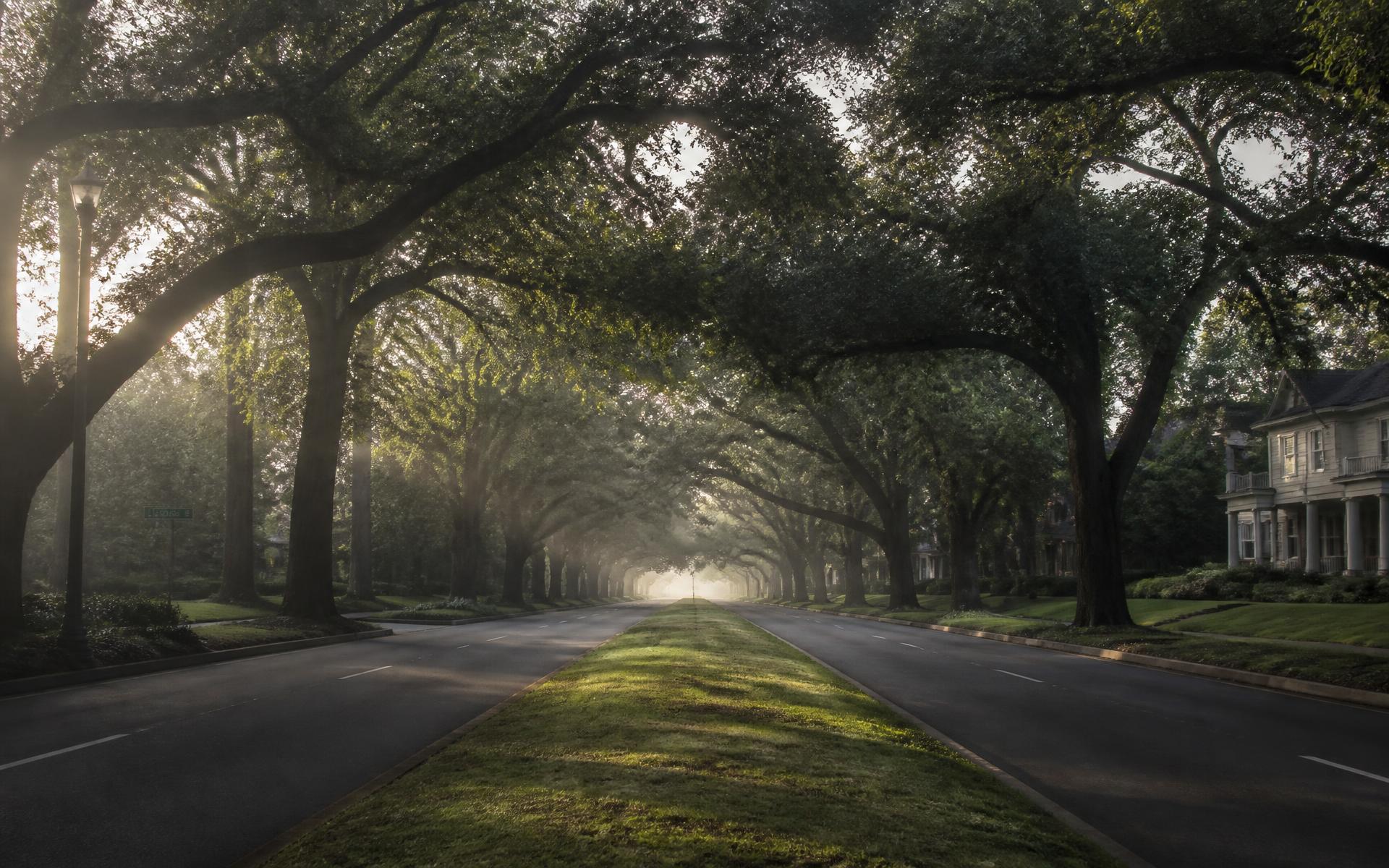
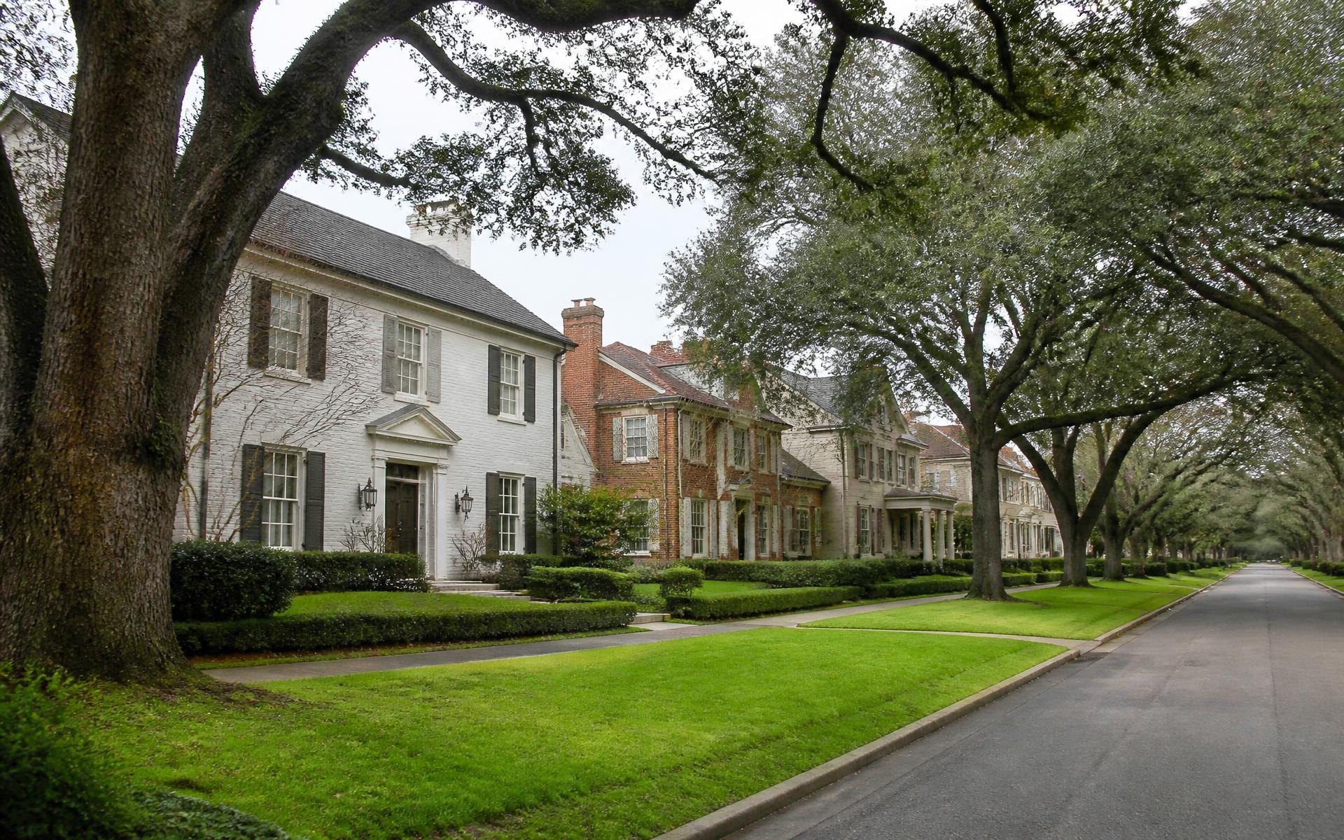
It is impossible to separate land value in this neighborhood from the presence of its historic trees. The famous willow oaks and hardwoods are not mere ornamentation; they function as a living structural element of the streetscape. A parcel cradled beneath an unbroken canopy enjoys an atmospheric stillness and thermal moderation that young suburban landscapes cannot replicate for half a century.
This canopy, however, is a shared estate that commands deference. The critical root zone of an eighty-year-old willow oak can easily encompass thousands of square feet of soil, extending well beyond the dripline. For anyone contemplating a major expansion or planning custom homes on infill sites, the trees dictate the footprint before the first sketch is drawn. Foundations must bridge major root corridors, driveways must navigate established trunks, and rear additions must preserve the delicate moisture balance of long-settled soil.
A lot that appears generous on a plat map may find its buildable envelope closely curtailed once the city arborist and landscape architect map the root systems. To value such a property purely as unimproved dirt is to misunderstand it entirely; one is purchasing the stewardship of an irreplaceable natural asset, where every cubic yard of grading must justify its ecological cost against the neighborhood's collective tree canopy.
Another defining attribute of a Myers Park parcel is the distribution of space between public presentation and private retreat. The garden suburb philosophy that shaped early twentieth-century Charlotte prioritized deep, unfenced front lawns that merged seamlessly into one another, creating the impression of a single, continuous parkland.
While this generates the stately public vistas that define the neighborhood, it means that a substantial percentage of a parcel's total square footage is dedicated to the public view. A deep front setback leaves less land behind the house than an untrained buyer might expect from the total acreage. On tighter urban lots, this can leave the private rear garden surprisingly intimate, especially once screening buffers, detached garages, and family terraces are accounted for.
By contrast, deeper interior parcels, or those situated on the inside bends of curving avenues, often widen toward the rear. These fan-shaped configurations provide the elusive luxury of genuine domestic seclusion: room for walled rose gardens, lap pools tucked out of sight from the street, and quiet dining courtyards buffered by decades-old boxwoods and camellias. Discerning whether a lot offers public grandeur, private sanctuary, or an artful balance of both is essential when assessing whether it suits a particular family's rhythm of life.
Finally, land value in Myers Park is shaped by proximity to the neighborhood's internal spines and quiet cul-de-sacs. An address on a premier throughway carries an undeniable historic prestige, but it also carries the steady cadence of afternoon neighborhood traffic and school-run activity. Sites located on the quiet secondary lanes—the shaded spurs that dead-end into nature paths or loop back upon themselves—offer an entirely different cadence, where the front porch becomes a tranquil vantage point rather than a formal civic face.
Similarly, parcels bordering the historic creek beds or adjacent green buffers enjoy a sense of infinite depth, borrowing the borrowed landscape of nearby stream valleys to extend their perceived boundaries far beyond their legal property lines. Advisors who work closely within this specific enclave, such as the brokers at Peters & Associates, routinely observe that these intangible boundaries—light filtration, acoustic privacy, and visual borrowing—exert an influence on value that transcends simple land sales comparisons.
To buy land here is never just a transaction of dirt and deed. It is the acquisition of a specific chapter in an ongoing civic experiment in garden living, where every grade change, branch, and boundary line carries consequences that shape daily living for decades to come.
To explore how these individual parcels and classic street patterns come together into a coherent whole, consult our comprehensive neighborhood guide.
Editorial note: this entry is part of a continuing weekly record of Myers Park compiled by the Discover Myers Park editorial team. Figures, boundaries and school assignments change — verify anything you intend to rely on with the primary source. Nothing here is legal, tax or real estate advice.
More from the journal
A study of setbacks, porch treatments, and roof geometries along Queens Road West reveals how early twentieth-century domestic architecture negotiated public formality and private reserve.

When the willow oaks drop their leaves, John Nolen's 1911 landscape design emerges in full view, revealing the underlying topographic logic of Myers Park's curved streets.