The Queens Road Crescents
The original streetcar spine and its western branch. Largest lots, grandest houses, deepest canopy, most visitors. Prestige address; steady traffic.
- Queens Road
- Queens Road West
- Queens Road East
Index
The Place
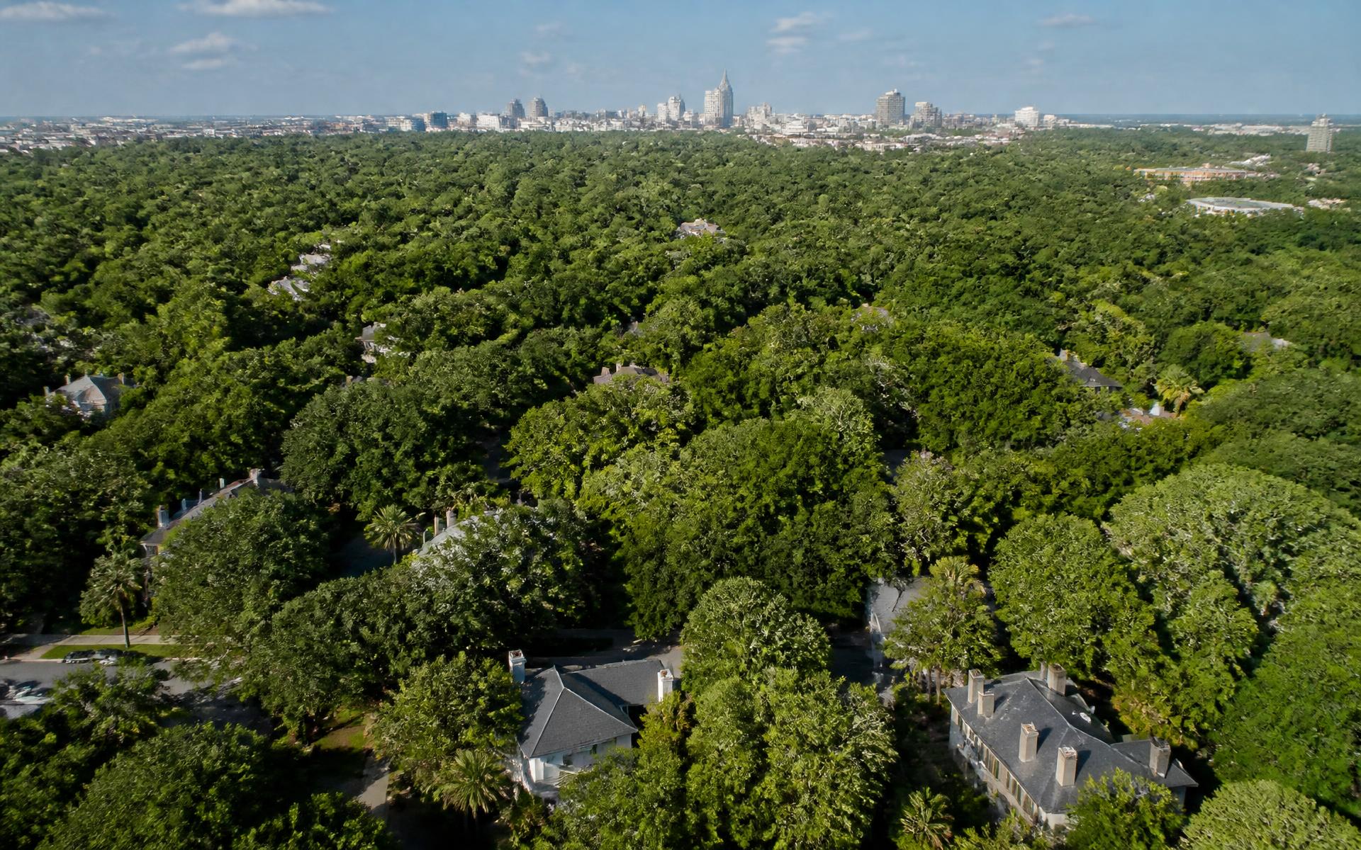
Myers Park is not uniform. Six distinct pockets sit under the same canopy, and choosing between them matters more than most buyers realise.
Reviewed · Discover Myers Park editorial desk
Orientation
Because Nolen curved the streets, Myers Park has no obvious internal geography — there is no north side and south side, no numbered avenues to count from. What it has instead are pockets: clusters of streets that share a build-out period, a lot size, and a daily pattern. Residents navigate by these, and so should you.
The descriptions below are editorial, not legal. Boundaries between pockets are soft and people disagree about them. For anything binding — lot lines, zoning, school assignment — use the county parcel viewer and the CMS locator.
The original streetcar spine and its western branch. Largest lots, grandest houses, deepest canopy, most visitors. Prestige address; steady traffic.
The neighborhood's estate core. Deep lots, long driveways, several individually designated landmark properties including the Duke Mansion. Very quiet.
Where Myers Park runs into Eastover along Providence and Ardsley. Slightly later housing stock, excellent access east, and a genuinely blurry boundary — buyers routinely shop both.
The neighborhood's most practical quadrant: smaller houses, the closest thing to walkable retail, and the shortest trip to groceries, coffee, and Park Road Shopping Center.
The transition toward SouthPark. Mixed housing stock including strong mid-century examples, and the easiest commute to Charlotte's second business district.
West of the neighborhood core toward Freedom Park and the greenway. Best access to open space and running loops; strong appeal to families who want the park as a back yard.
Plotted
Filter
The full interactive map — with dining, shopping, and school layers — lives on the map page.
Questions
There is no single answer, which frustrates buyers. Commonly cited edges run along Queens Road and Providence Road to the north and east, Selwyn Avenue and the Park Road corridor to the west, and Colony Road toward the south. The historic district boundary, the neighborhood association service area, and the school attendance zone are all different lines.
Queens Road West carries the most recognition, and Hermitage and Cherokee carry the largest estates. Desirability beyond that is genuinely personal — proximity to Freedom Park, to Selwyn Avenue retail, or to a particular school run matters more to most buyers than street prestige. Verify lot specifics on the county parcel viewer rather than relying on street reputation.
No, though they adjoin and are frequently discussed together. Eastover developed slightly later, sits east of Myers Park across Providence Road, and has its own character and association. Buyers shopping one almost always look at the other; our comparison page covers the practical differences.
A limited number, mostly along the Queens Road and Providence Road corridors and at the neighborhood's edges rather than in its interior. The overwhelming majority of the housing stock is detached single-family on individual lots.
Streets, parks, schools, clubs, and tables — plotted and filterable.
The neighborhood's working edge, its small commercial node, and what a corridor address means.
The most photographed street in Charlotte: its willow oak cathedral, its houses, and its rules.
What houses cost, what drives value, and how the Myers Park market actually behaves.