Start Here
The Complete Myers Park Guide
Charlotte's 1911 streetcar suburb, explained end to end — the plan, the canopy, the houses, the schools, the tables, and the practicalities of living here.
Reviewed · Discover Myers Park editorial desk
Myers Park Overview
Most Charlotte neighborhoods can be summarised in a paragraph. Myers Park cannot, because what makes it distinctive is not one feature but the compounding of several over a hundred and fifteen years: a landscape plan of unusual quality, executed patiently; a tree canopy that took two generations to mature; an architectural standard that never lapsed; and a location that stayed central as the city grew around it.
This guide is organised into five clusters. The Place covers how the neighborhood was made and what it physically is. Living Here covers schools, parks, restaurants, shopping, clubs, and the annual rhythm. Homes & Market covers what property costs and how it behaves. Design & Build covers construction, renovation, interiors, and technology. Practical Matters covers maps, relocation, sourcing, and how this guide is put together.
The streets should follow the contours of the land, not the surveyor's convenience.
What you should read first
If you are relocating: start with Moving to Myers Park, then Schools and Myers Park vs. Eastover, Dilworth & SouthPark.
If you are buying: start with Homes & Real Estate, then Streets & Pockets and Architecture.
If you already own here and are planning work: start with Renovating a Historic Home, The Tree Canopy, and Building a Custom Home.
If you are simply curious: The History and Queens Road West are the two best pages on this site.
Every Page
The full index
The Place
How Myers Park came to be, and what makes its streets unlike anywhere else in the Carolinas.
The Complete Myers Park Guide
Every chapter of the neighborhood in one place — history, streets, schools, market, and daily life.
The History of Myers Park
From cotton farm to John Nolen's 1911 streetcar suburb, and the century of stewardship that followed.
Architecture of Myers Park
Georgian Revival, Tudor, Colonial Revival, and the modern houses that earned their place among them.
Myers Park Historic Homes
Old, historic, and designated are three different things. What each one means for a house here.
Queens Road West
The most photographed street in Charlotte: its willow oak cathedral, its houses, and its rules.
Selwyn Avenue
The neighborhood's working edge, its small commercial node, and what a corridor address means.
The Tree Canopy
Why the willow oaks exist, who protects them, and what that means if you own one.
Myers Park Pockets & Streets
Eastover edge, the Crescent, Colony, Cherokee, Hermitage — how the neighborhood actually breaks down.
Living Here
Schools, parks, tables, shops, and the daily rhythm of the neighborhood.
Living in Myers Park
The porch culture, the greenway loop, the December luminaries — and the trade-offs residents accept.
Myers Park Schools
Public assignment, the independent schools, and how families actually choose between them.
Where to Eat Near Myers Park
The standing reservations, the neighborhood counters, and the tables worth the drive.
Shopping & Everyday Errands
SouthPark, Selwyn Avenue, Providence Road, and where residents actually buy groceries.
Parks, Greenways & Trails
Freedom Park, Little Sugar Creek Greenway, Symphony Park, and the loops residents run every morning.
Freedom Park & Myers Park
Where the park sits relative to the neighborhood, and what residents actually use it for.
Things to Do In & Around Myers Park
Museums, festivals, theaters, golf, and the weekend rituals of the neighborhood.
Myers Park Country Club & Clubs Nearby
The Donald Ross course, Charlotte Country Club, and how private club life works here.
Homes & Market
What houses cost here, how the market behaves, and how Myers Park compares.
Myers Park Homes & Real Estate
What houses cost, what drives value, and how the Myers Park market actually behaves.
Myers Park Homes for Sale
Why inventory is thin, how off-market houses trade, and what to verify before an offer.
Myers Park Home Values
How value is actually built here, and where to find sales and assessment data you can trust.
Myers Park Luxury & Estate Homes
What defines the top of this market, how estate parcels differ, and the diligence that matters.
Myers Park Compared
Four honest comparisons against Eastover, Dilworth, SouthPark, and Foxcroft.
Myers Park vs Eastover
The closest peer neighborhood, compared criterion by criterion.
Myers Park vs Dilworth
Scale and canopy against walkability and a genuine high street.
Myers Park vs SouthPark
A residential plan against Charlotte's principal retail and office district.
Myers Park vs Foxcroft
A 1911 streetcar plan against mid-century houses on wooded south Charlotte lots.
Design & Build
Building, renovating, furnishing, and wiring a home under a hundred-year-old canopy.
Building a Custom Home in Myers Park
Lot selection, historic review, canopy protection, and the realistic timeline for new construction.
Renovating a Historic Myers Park Home
Additions, kitchens, systems, and the review process for houses older than the city around them.
Interior Design for Myers Park Homes
Working with period architecture without turning a house into a museum.
Home Technology & Audio Video
Networks, lighting, theaters, and whole-home audio installed inside plaster walls.
Practical Matters
Maps, relocation logistics, sourcing, and how this guide is put together.
Interactive Myers Park Map
Streets, parks, schools, clubs, and tables — plotted and filterable.
Moving to Myers Park
Timelines, taxes, utilities, commutes, and the practical order of operations for a relocation.
Recommended Local Professionals
The builders, brokers, designers, and integrators this guide recommends — and why.
Myers Park FAQ
Ninety cited answers to the questions people actually ask about Myers Park.
How This Guide Is Built
Our sources, our review cadence, our independence, and how to report a correction.
Contact & Introductions
Ask a question, request an introduction, or send a correction.
Questions
Frequently asked
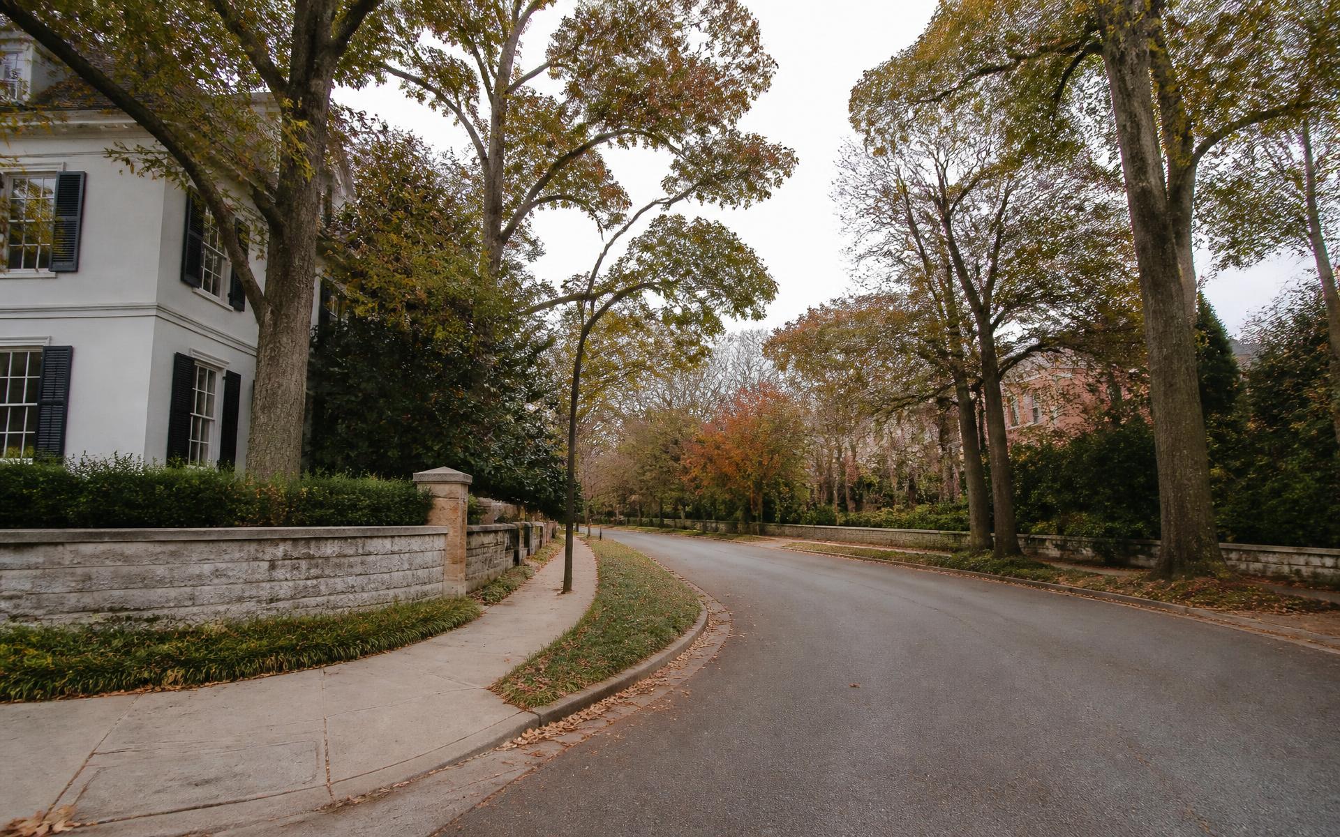
Drive Queens Road West end to end, then walk the Little Sugar Creek Greenway from Freedom Park north. Between those two you will see the canopy, the crescents, the park spine, and the range of architecture in under an hour. After that, read the history — the street layout only makes sense once you know Nolen drew it.
The neighborhood covers roughly 1,200 acres southeast of Uptown Charlotte, though residents disagree about the exact edges. The Myers Park Homeowners Association service area, the local historic district, and the CMS attendance zone are three different boundaries — a house can sit inside one and outside another.
Portions of the neighborhood carry local historic district designation, and a number of individual properties are designated landmarks. Designation is parcel-specific, not blanket: confirm a given address with the Charlotte Historic District Commission and the Charlotte-Mecklenburg Historic Landmarks Commission before assuming what you can or cannot do to a house.
The City of Charlotte and Mecklenburg County. There is a voluntary neighborhood association that advocates on planning and canopy issues, but it is not a mandatory HOA with architectural control over most properties. The binding constraints are city zoning, the tree ordinance, recorded covenants on some individual plats, and historic review where it applies.
Continue reading
- Read →
The History of Myers Park
From cotton farm to John Nolen's 1911 streetcar suburb, and the century of stewardship that followed.
- Read →
Myers Park Pockets & Streets
Eastover edge, the Crescent, Colony, Cherokee, Hermitage — how the neighborhood actually breaks down.
- Read →
Myers Park Homes & Real Estate
What houses cost, what drives value, and how the Myers Park market actually behaves.
- Read →
Living in Myers Park
The porch culture, the greenway loop, the December luminaries — and the trade-offs residents accept.