The Place
Selwyn Avenue
Myers Park's working edge: the corridor that carries the traffic the interior streets refuse, and the closest thing the neighborhood has to a high street.
Reviewed · Discover Myers Park editorial desk
What the corridor does
Selwyn Avenue is one of the arterials that frames the western side of Myers Park. It carries traffic, holds the neighborhood's small commercial node, and marks an edge that is real in practice but imprecise on paper.
John Nolen's 1911 plan gave Myers Park curved interior streets that make poor shortcuts. The consequence, a century on, is that through-traffic concentrates on a handful of corridors — Selwyn Avenue among them, alongside Queens Road and Providence Road. That is why the interior feels as quiet as it does, and why a corridor address is a different proposition from an interior one.
The commercial node
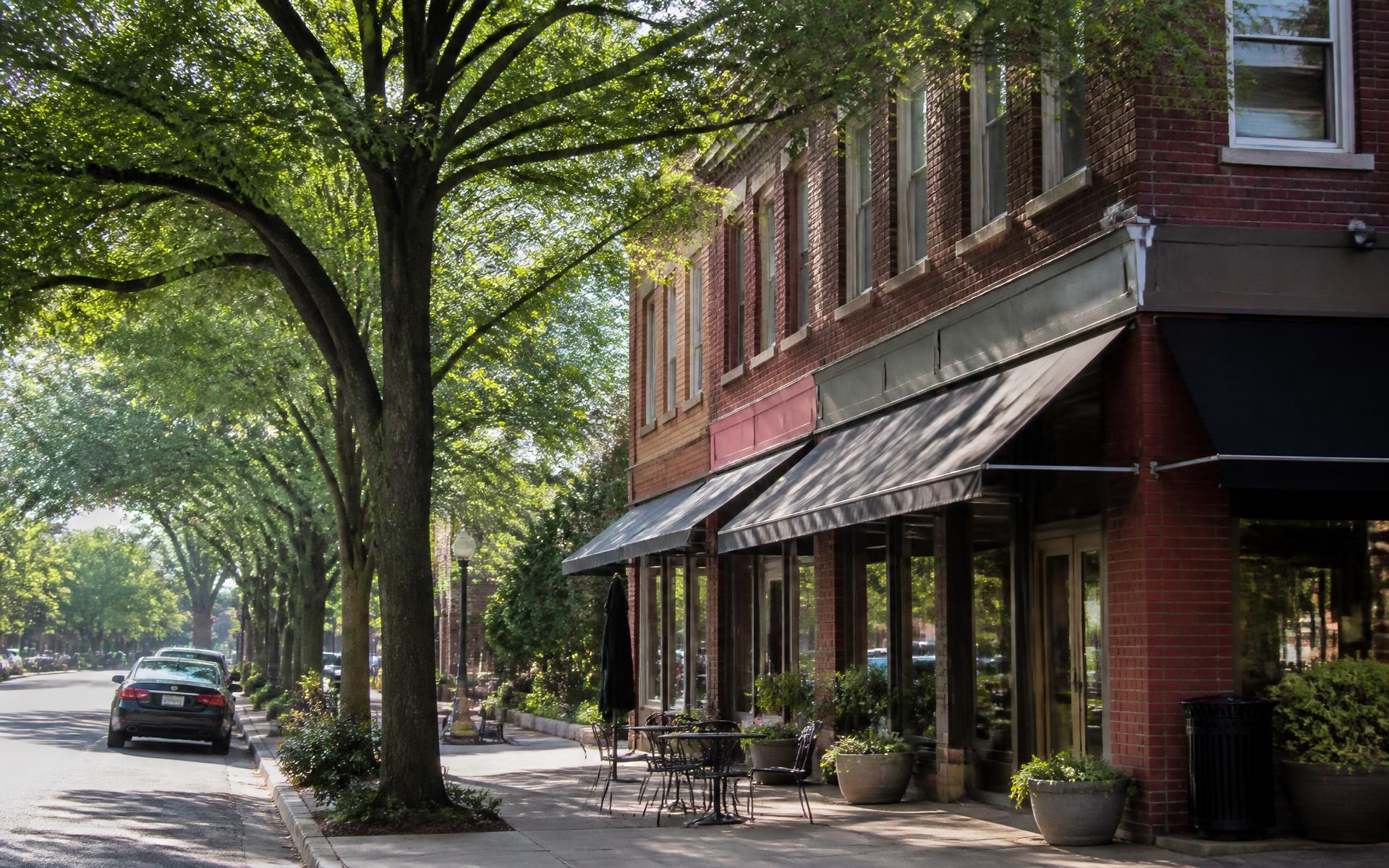
The small cluster of shops and restaurants along the avenue is the nearest thing Myers Park has to walkable retail. It is genuinely useful and genuinely small: most households still drive to Park Road, Providence Road or SouthPark for a full shop. See shopping near Myers Park and where to eat. Individual businesses change, so treat any list — including ours — as a starting point rather than a current directory.
Buying on or near a corridor
- Visit at morning and evening peak, not midday, before forming a view.
- Check the parcel's actual neighborhood and designation status; a Selwyn Avenue address is not automatically inside Myers Park or inside a historic district. Historic designation explained.
- Understand what the position does to value in either direction. Home values.
- Compare it against the interior pockets before deciding. Streets and pockets.
The other named corridor
Selwyn Avenue is the practical edge; Queens Road West is the ceremonial one. Between them they explain most of how Myers Park is organised. The interactive map plots both.
Questions
Frequently asked
Selwyn Avenue runs through the western side of the Myers Park area in Charlotte, North Carolina, and continues south past the neighborhood. It is one of the corridors commonly used to describe Myers Park's edge, though the precise boundary depends on which definition you use.
Parts of it function as a Myers Park edge and parts run beyond it. Because neighborhood, historic district and association boundaries differ, confirm any specific address on the Mecklenburg County parcel viewer rather than assuming from the street name.
A mix of residential blocks and a small neighborhood commercial node with independent shops and dining, plus institutional uses along the corridor. Businesses change; check current listings rather than relying on a static guide.
Source: NC Real Estate Commission
It carries more through-traffic than the interior streets of Myers Park, which the curved 1911 plan deliberately made inefficient as shortcuts. Buyers weighing a corridor address against an interior one should visit at peak hours before deciding.
Continue reading
- Read →
Myers Park Pockets & Streets
Eastover edge, the Crescent, Colony, Cherokee, Hermitage — how the neighborhood actually breaks down.
- Read →
Queens Road West
The most photographed street in Charlotte: its willow oak cathedral, its houses, and its rules.
- Read →
Shopping & Everyday Errands
SouthPark, Selwyn Avenue, Providence Road, and where residents actually buy groceries.
- Read →
Interactive Myers Park Map
Streets, parks, schools, clubs, and tables — plotted and filterable.