Living Here
Parks, Greenways & Trails
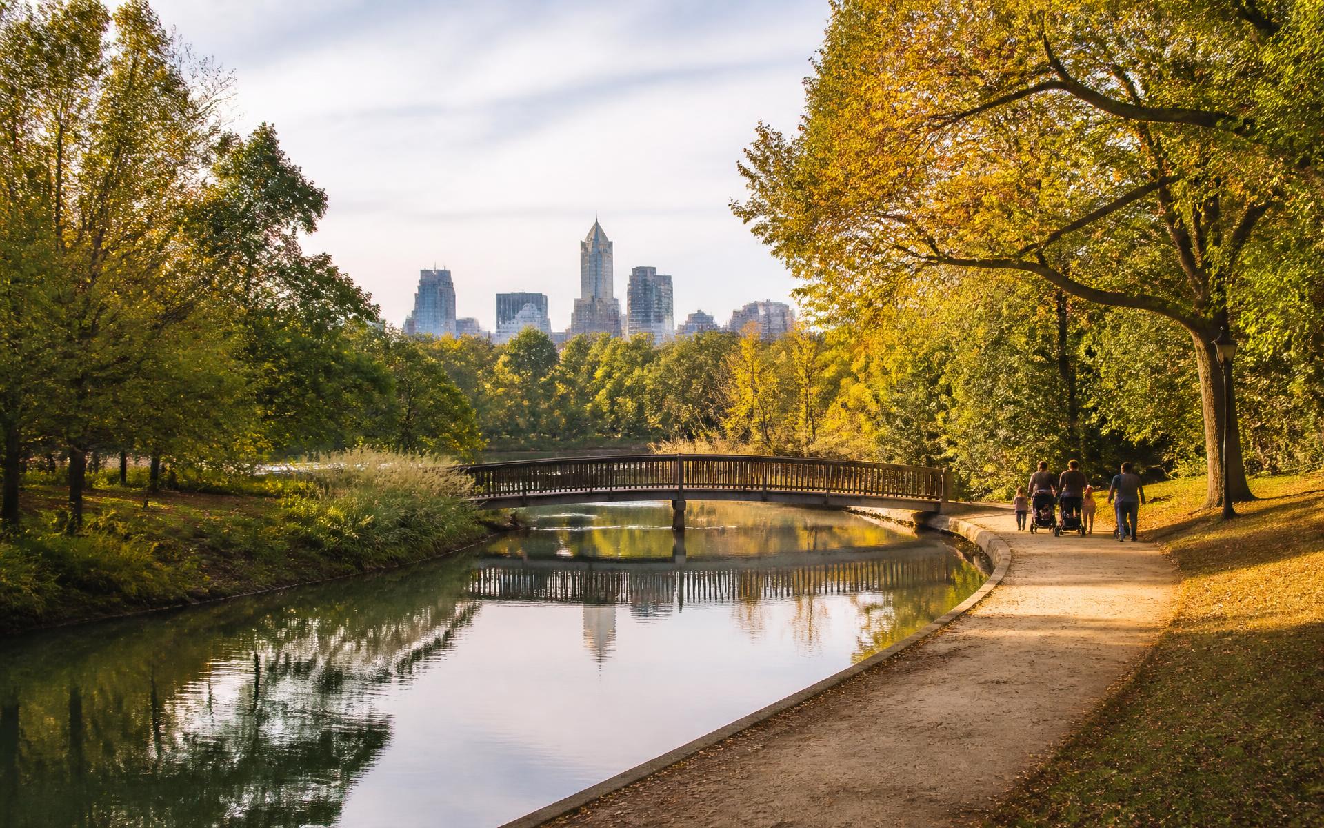
A lake loop, a longer creek-side ride, or an evening on a concert lawn: Myers Park’s surrounding parks offer different kinds of time outdoors.
Reviewed · Live Myers Park editorial desk
Living Here
Freedom Park
Ninety-eight acres on the neighborhood’s western edge: a lake with a bandshell, ball fields, tennis and volleyball courts, playgrounds, and the lawn that hosts Festival in the Park each September. For most Myers Park households it functions as a shared back garden.
Little Sugar Creek Greenway
A paved greenway running north from Freedom Park toward Uptown and south toward Park Road, connecting the neighborhood to the wider Carolina Thread Trail system. It is the reason so many residents run or cycle here without ever using a road.
Symphony Park & Beyond
Symphony Park at SouthPark hosts the Charlotte Symphony’s Summer Pops series on the lawn. Farther out, the Mecklenburg County park system adds nature preserves, golf, and greenway segments within a short drive.
Choose the Outing Before the Route
Freedom Park is the natural starting point for a lake-centered outing, playground visit or time on the lawns. The greenway is a different proposition: a linear journey where the return trip matters as much as the outward leg. Symphony Park belongs to the SouthPark context rather than the Myers Park interior. Keep those distinctions in mind instead of treating all three as interchangeable neighborhood walks.
The Freedom Park guide gives the park its own context; the neighborhood map puts it alongside schools, streets and surrounding destinations. The illustrated map is not a trail survey. Follow its location links for current routing and verify the entrance you intend to use.
Access, Parking and Current Conditions
Choose a named park entrance before leaving home, particularly when meeting others or carrying children's equipment. A destination pin is not a guarantee that the nearest gate has vehicle access, parking or an accessible path. Check the county's current park information for the facilities you need, then use a route planner from your actual address. Event days can change the arrival experience.
For a greenway outing, check Mecklenburg County Park and Recreation's current trail maps and closure notices rather than relying on an old route description. Construction, weather and maintenance can interrupt connections. Decide where you will turn around, bring what you need for the return journey, and confirm whether the segment is appropriate for walking, cycling or mobility equipment.
Dogs, Shared Paths and Longer Visits
A park walk is not the same as a visit to a designated off-leash area. Check the county's current pet rules and off-leash locations before arriving; do not infer permission from a lawn or an open trail. On shared paths, leave room for other users and plan a route that suits the whole group rather than a distance suggested by the neighborhood illustration.
For a longer day nearby, combine the park with the Selwyn Avenue guide or explore the things-to-do overview. Confirm current opening hours directly with the destination before planning food or another stop around a walk.
Continue reading
- Read Chapter →
Freedom Park & Myers Park
Where the park sits relative to the neighborhood, and what residents actually use it for.
- Read Chapter →
Things to Do In & Around Myers Park
Museums, festivals, theaters, golf, and the weekend rituals of the neighborhood.
- Read Chapter →
The Tree Canopy
Why the willow oaks exist, who protects them, and what that means if you own one.
- Read Chapter →
Interactive Myers Park Map
Streets, parks, schools, clubs, and tables — plotted and filterable.